Agentic AI · Earth observation
SeaScope
Ask a question. Get a map.
SeaScope is an open-source assistant that turns a plain-language Earth observation question into a Google Earth Engine analysis you can run, see on a map, and check.
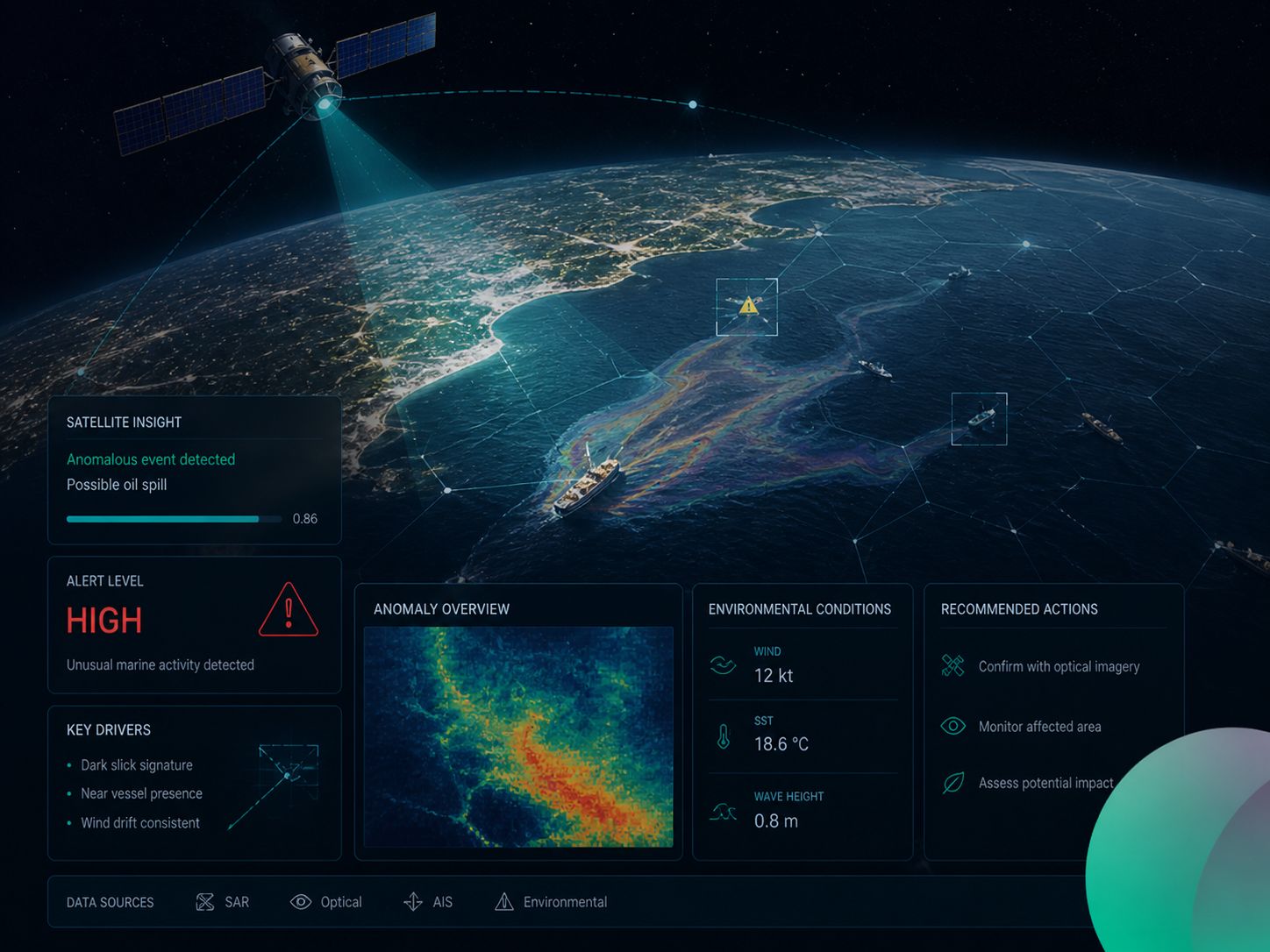
See it run.
Thirty seconds: a question about the 2018 Corsica ship crash becomes Sentinel-1 and Sentinel-2 layers with the detected oil spill in red and the vessels marked.
Use cases
What SeaScope is used for.
Oil spills, vessel detection and incidents, coastal water quality, floating plastics, and air quality — piloted across the Cyprus Exclusive Economic Zone and the wider Mediterranean on Sentinel-1 SAR and Sentinel-2 optical data.
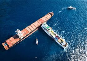
Vessel incidents
Corsica ship crash, 2018
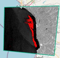
Oil spill detection
Syria, 2021, Sentinel-1 SAR
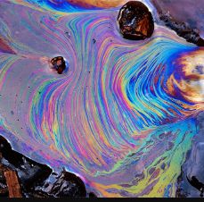
Slick mapping
Corsica oil spill, 2021
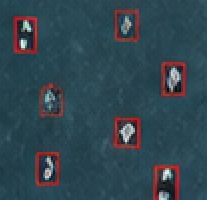
Ship detection
Larnaca, 2019
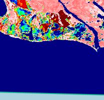
Water quality
Gulf of Lion turbidity, 2023
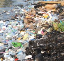
Floating debris
Trieste plastics, 2018
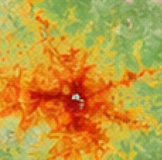
Air quality
Cyprus, 2025
When it matters
Emergency response and monitoring.
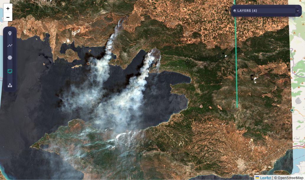
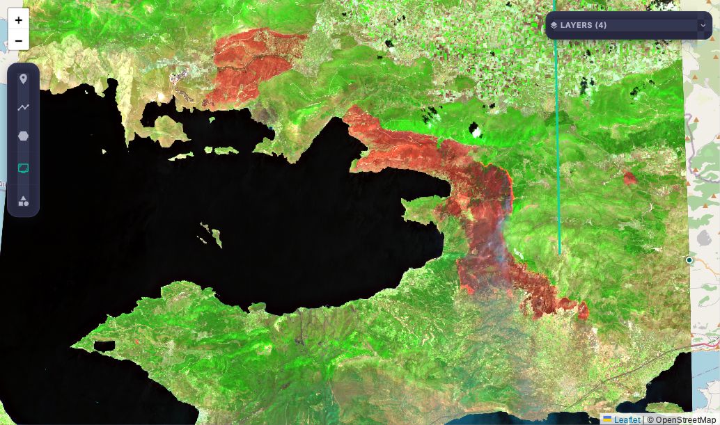
The same loop covers emergency management, disaster mapping, and critical infrastructure monitoring — because the analyst writes the question, not the code, and can have a first map while the event is still unfolding.
For researchers
A new analysis takes minutes, not weeks.
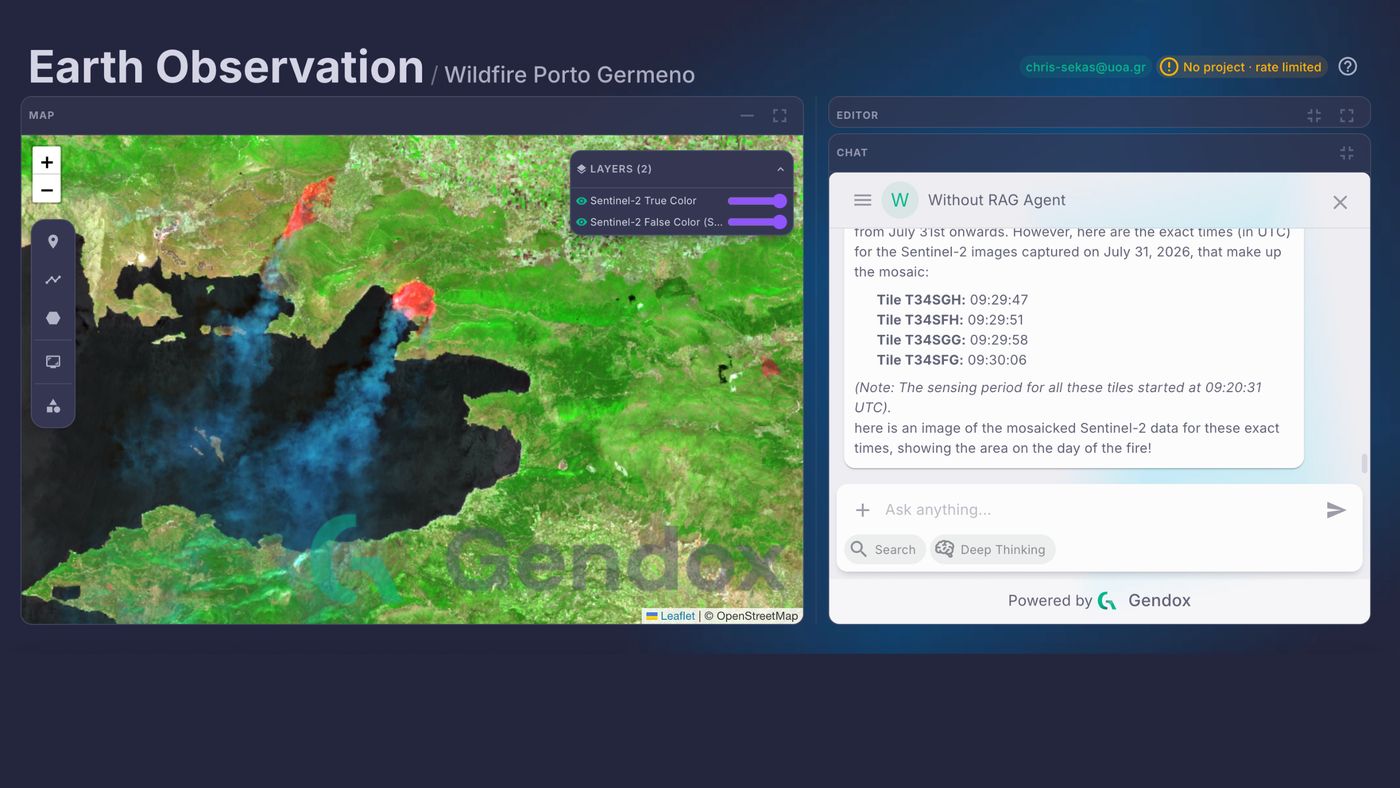
Building an Earth observation workflow normally means dataset selection, geospatial programming, and cloud processing. In SeaScope a researcher describes the result they want and reviews the code the agent writes — no Earth Engine scripting from scratch.
- Detect recent burned areas inside my AOI and visualize them as a red mask.
- Compute NDVI change between last month and this month, clipped to the polygon.
- Highlight water extent and add a legend-friendly palette.
- 01AskDescribe the outcome in plain language.
- 02ReviewThe agent proposes Earth Engine code as a patch.
- 03RunIt executes in a browser sandbox on your own GEE account.
- 04RefineDraw an area of interest, iterate, save the script.
How it works
How SeaScope works.
A question passes through retrieval over a curated Earth observation corpus, agent planning, Earth Engine code generation, and cloud execution, and comes back with the map, the code, and the provenance behind it. Human review stays in the loop at every stage.
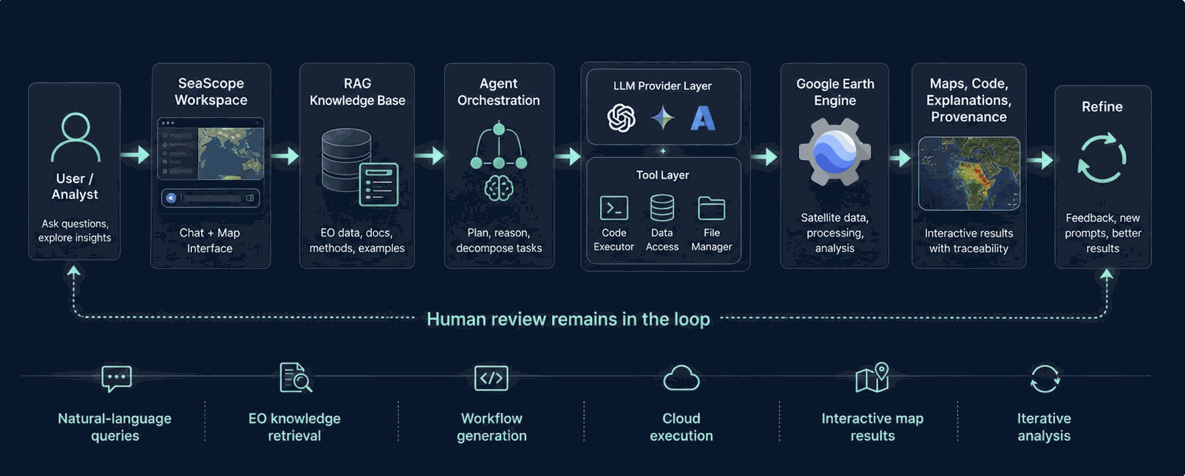
Built on Gendox, Ctrl+Space Labs' open-source multi-agent platform, extended with EO corpora, Earth Engine tools, and map-based execution.
Results
Which models can actually do this.
Thirteen models ran all seven case studies with and without retrieval. Gemini 3.1 PRO with RAG scored 9.14 out of 10 with 100% task success in 4.7 turns on average; retrieval lifted mid-size models by up to 3.57 points and made compact models worse.
Best overall
Gemini 3.1 PRO + RAG
9.14/ 10
- 100% success
- 4.7 messages avg
Strong frontier model
Gemini 3 Flash
8.57/ 10
- 100% success
Strong RAG-assisted performer
Claude Sonnet 4.6
7.00/ 10
- 100% success with RAG
Model ranking, top five
Mean score out of 10, with and without RAG
With RAGWithout RAG
01 Mid-size models benefit most from RAG
- GPT-5-mini+3.57
- GPT-5.1+3.14
Retrieval closes part of the gap to frontier performance.
02 Compact models struggle with RAG
- GPT-5-nano−2.14
- Compact OSS modelslow success
Extra context can overload smaller models.
03 Reliability matters
- Gemini 3.1 PRO, standard deviation2.44 → 0.69
RAG reduces bad runs for strong models.

Publication
The SeaScope paper.
SeaScope: A Transparent and Reproducible LLM-Assisted Framework for Maritime Earth Observation Analysis. Remote Sensing 18(17), 2849, published , open access under CC BY 4.0.
A six-month action by Ctrl+Space Labs with the National and Kapodistrian University of Athens and the Eratosthenes Centre of Excellence, Cyprus.
The ‘SeaScope’ action has received funding from the European Union, via OC1-2025-TIS-01, issued and implemented by the ENFIELD project, under grant agreement No. 101120657.
Contact
Get in touch.
Tell us what you are building. We will tell you whether we can help.